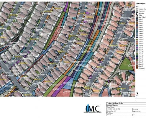
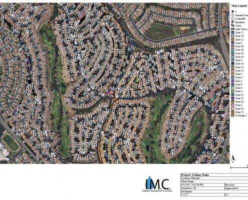
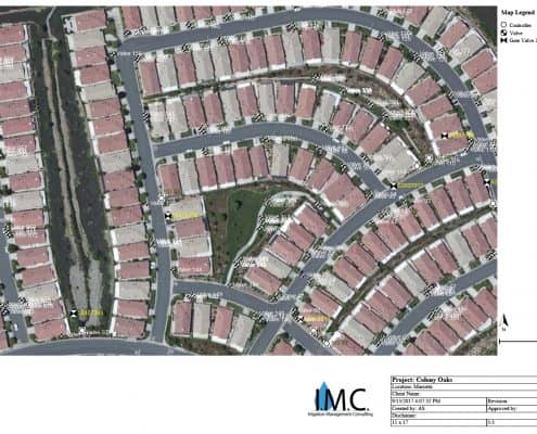
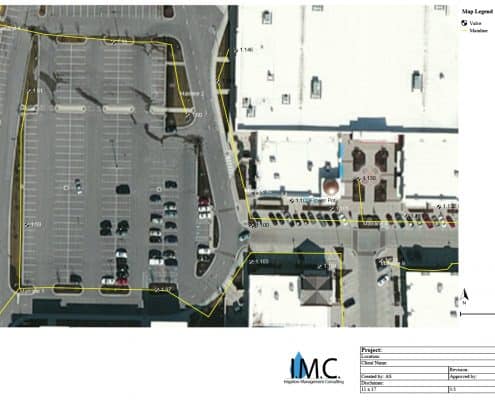
We find many clients have fallen into the “Not sure what zone that is” category. Through the years, with changes in staff, irrigation contractors, and the actual system itself, it is easy to not know the specifics of a system design.
Our GPS/GIS mapping services identifies your system, locating all the parts and pieces. This is integral information to help you, the owner, make decisions that are in your best interest. Whether you have a residential or multi-controller system, our GPS/GIS mapping will put the information back in your hands.
